Vinalhaven, ME Record Research Mapping Project and Online GIS Hosting

Vinalhaven, ME has selected CAI Technologies to perform a Town wide parcel remapping project. CAI shall perform record research and recompile each of the Town’s parcels using the most recent […]
Wolcott, VT Data Conversion, Parcel Maintenance and Online GIS Hosting

Wolcott, VT recently contracted with CAI to reformat their existing digital data, provide ongoing maintenance of said data and provide online GIS data hosting. The reformatting of the Tax Map […]
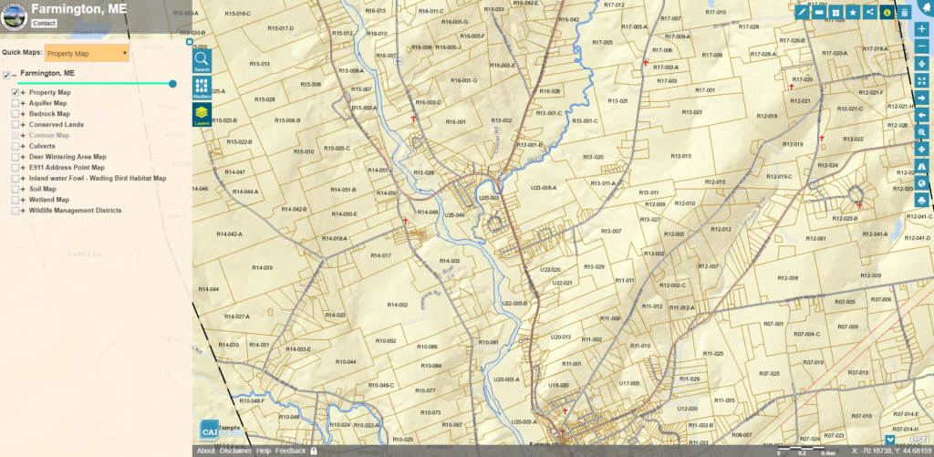
Farmington, ME Tax Map Data Conversion

Farmington, ME selects CAI to convert their existing AutoCAD Tax Map data into geodatabase format and perform annual Tax Map updates. The conversion of Tax Map data to geodatabase format […]
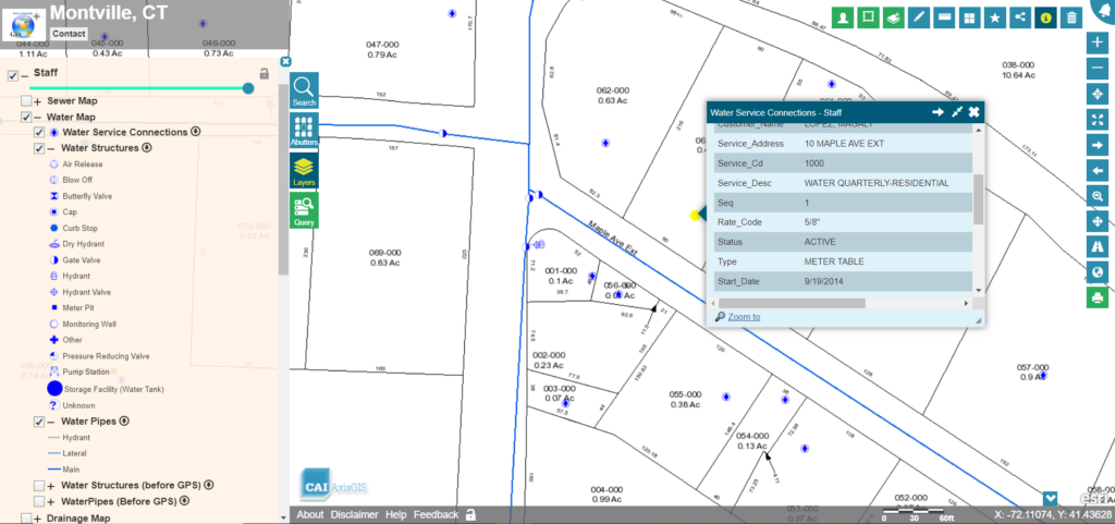
Montville, CT Water Pollution Control Authority Water System Mapping

Montville, CT Water Pollution Control Authority (WPCA) hires CAI to perform GPS data collection and mapping for their 18 miles of public water system. CAI staff accompanied by WPCA staff, […]
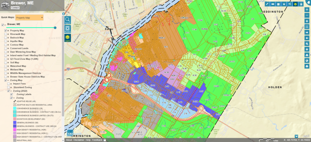
Brewer, ME Online GIS Services

Brewer, ME has contracted with CAI to host the City’s GIS data using our AxisGIS platform. AxisGIS is an advanced but yet simple and easy to use web based GIS […]
New Boston, NH Parcel Remapping Project

New Boston, NH has selected CAI Technologies to perform a Town wide parcel remapping project. CAI shall perform record research and recompile each of the Town’s parcels using the most […]