AxisGIS is designed to serve as the central component of a community’s GIS by integrating your critical business system with mapping technologies to answer location based questions, visualize information and store and retrieve geographic content. Our robust and simple to use tools complement the AxisGIS platform with industry leading ESRI technology which allows for connections between individuals, departments and the entire community.
AxisGIS is a web-based mapping platform which functions in a browser, tablet or mobile device enabling users to query, browse, report and visualize location based information from anywhere, anytime. AxisGIS is leading the way as your Turning Point for Geographic Information.
Work in the Field
AxisGIS is a responsive application which means you can access and edit your data in the field using mobile devices, real time!
AxisGIS allows for direct integration with ESRI ArcGIS Field Maps, Survey 123, and Navigator to maximize efficiency in your field workforce.
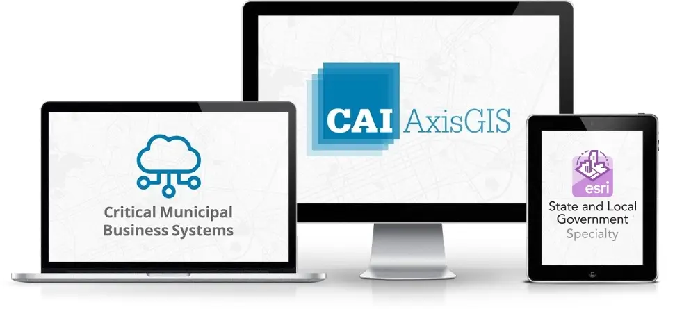
Integrate with Other Solutions
Share and consume data from different business systems and GIS resources to and from the AxisGIS platform.
Ask Questions and Get Answers
Interact with layers on the map for visualization and analysis anywhere, anytime, on any device.
Set Buffer Distances On Anything!
Buffer anything on the map to explore and analyze results. Generate reports and mailing labels, fast and easy.
Your Turning Point for Geographical Information
Develop and Share Customized Maps
Produce customized maps to print or share as a direct link for someone to view in their browser or mobile device.
Staff Access by Groups and Roles
Create any group and set role-level access for staff members to access specific map content. Sign on using your Google or Facebook account.
Upload and Share Documents
Deeds, plans, property record cards, licenses, permits, and much more, can be uploaded and shared through the map.
Enable Staff To Create and Edit Map Data
With role-level access, staff members can create new map data and add custom items. Maintain your GIS layers fast and easy, real-time, anytime!