
Sanford, ME Street Sweeping Tracker

Sanford, ME contracted recently with CAI to configure an ArcGIS Online (AGOL) application to track Street Sweeping progress. The City has a priority watershed where those streets are required to […]
Montville, CT WPCA Using AxisGIS to Create/Edit and Query Sewer Utility Data and Inspections

Montville, CT Water Pollution Control Authority (MWPCA) recently contracted with CAI to configure and host their GIS data using CAI’s AxisGIS Editor service. The secure Editor service is accessible to […]
Eliot, ME Catch Basin Cleaning Dashboard

CAI recently completed configuration of an ArcGIS Online (AGOL) Dashboard for the Eliot, ME Public Works Department. As required of Municipal Separate Storm Sewer System (MS4) communities, Eliot must report […]
CAI Technologies Acquires MainStreetGIS

CAI Technologies (CAI) is pleased to announce its acquisition of MainStreetGIS, a municipal mapping company that has provided mapping services to Southern New England for more than two decades. This […]
Bucksport, ME Online GIS Service
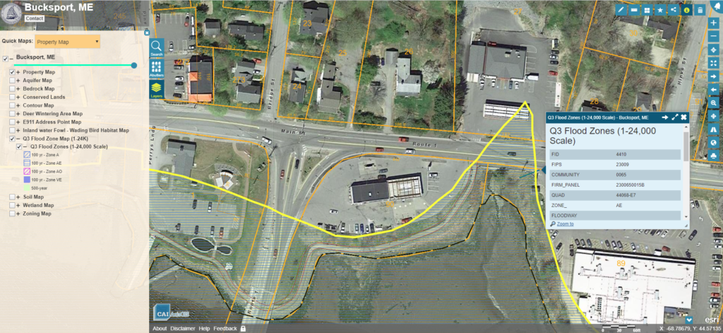
Bucksport, ME has selected CAI to host the Town’s GIS data through our AxisGIS platform. AxisGIS is a simple easy to use web based service accessible across all common web […]
Data Analysis Using GIS

CAI used geoprocessing tools in conjunction with State Addressing data and municipal Computer Aided Dispatch data to develop an application for analyzing Ambulance call volume. The Emergency Services Department can […]