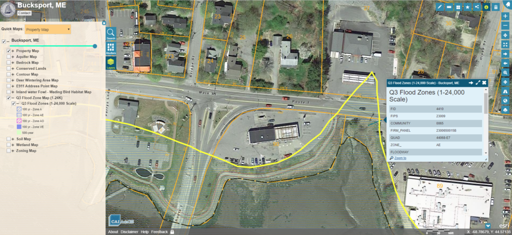
Bucksport, ME Online GIS Service

Bucksport, ME has selected CAI to host the Town’s GIS data through our AxisGIS platform. AxisGIS is a simple easy to use web based service accessible across all common web […]

Bucksport, ME has selected CAI to host the Town’s GIS data through our AxisGIS platform. AxisGIS is a simple easy to use web based service accessible across all common web […]